Day 11 : Rifugio Migliorero to Ferrere
| Previous: | Next: | |
| 10 : Sant'Anna di Vinadio to Rifugio Migliorero | 12 : Ferrere to Chialvetta |
| Distance: 13.9 km | Total time: 00:00:00 |
| Altitude gain: 1570 m loss: 1670 m | ( of which 00:00:00 resting time ) |
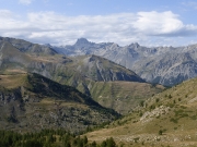
Another longish, but pleasant stretch. From the Rifugio, continue a bit along the road, but then take the trail to Passo di Rostagno and from there down to Rifugio E Zanotti. This Rifugio is well maintained, but is basically unmanned and only opens on request. The gettore also manages Rifugio A Talarico in the next valley. From Zanotti, there is still a short walk to where the path meets the gravel road.
Going up, the road turns into a path again towards Passo Sotto di Scalettas. From there it is down again towards Giardino Botanico Zio John and the small restaurant that goes by the same name. A good option for lunch.
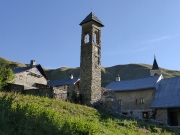
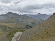
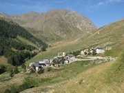
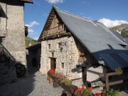
From there, follow the gravel road up into the mountains. Gently slopes, but a steady climb nonetheless. The road is an old military road leading to some forts near the pass. The last bit is again a trail, up to Colle di Stau. From there is down again via a sweeping curve. After 1h or so, you reach the river, which you cross and follow the signs to Ferrere. It's been a long day, but don't let the final short climb over a ridge (maybe 100m up) demotivate you! Finally the cute village of Ferrere comes into view. The village has been revived as a summer destination and even sports a small museum about the smugglers of yore.
