Day 16 : Rifugio Bagnour to Rifugio Quintino Sella
| Previous: | Next: | |
| 15 : Rifugio Pian Melezè to Rifugio Bagnour | 17 : Rifugio Quintino Sella to Rifugio Barbara Lowrie |
| Distance: 8.9 km | Total time: 00:00:00 |
| Altitude gain: 930 m loss: 330 m | ( of which 00:00:00 resting time ) |
This stage does not follow the official GTA, but takes in an extra pass on the way to Rifugio Quintino Sella. If you stop at the rifugio, it will be a short day. The alternative is to start from Castello and walk up to Rif Sella via the official route, or via Bagnour.
From Bagnour, follow the trail through the forest. The path gradually climbs, and becomes more rocky. After a while, you reach what looks like a sheer wall from a distance, but the trail turns left in front of it. From there, the trail winds op the rocky slopes, until you reach Passo Calata. From the pass, you can see the main trail going through the upper valley, amidst spectacular desolate scenery (if you ignore the hikers). Follow the crest (on the right hand side) to descend to the path and turn right, over Passo di San Chiafreddo. From there follow the signs to Rifugio Quintino Sella.

- View from Passo Calata

- Rifugio Quintino Sella
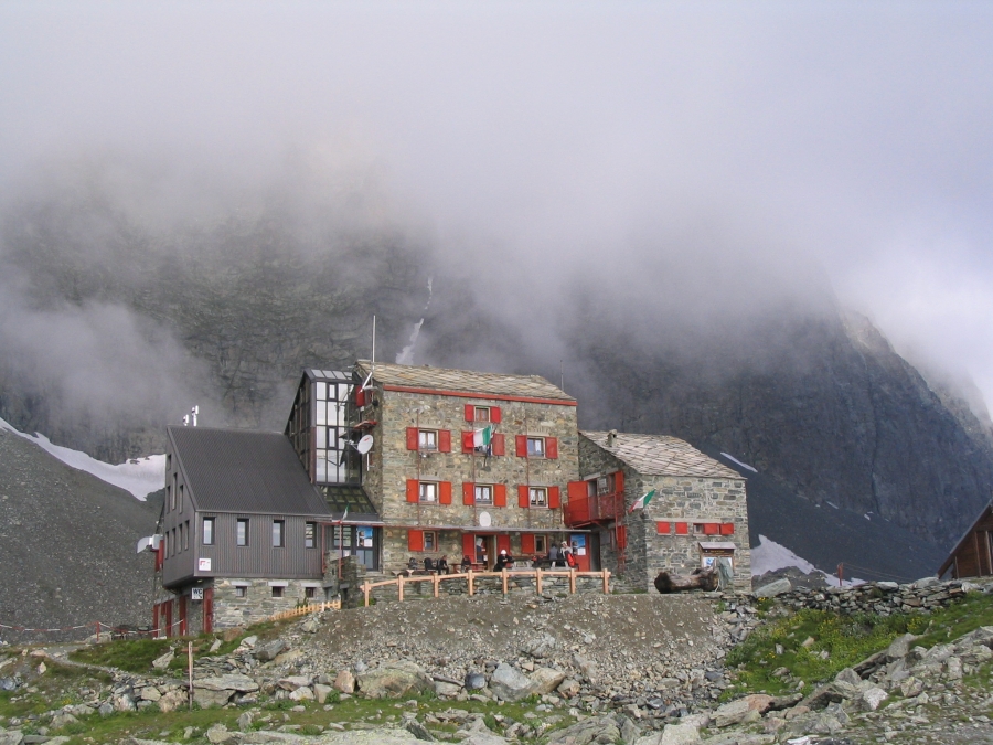
- Rifugio Quintino Sella
