Day 41 : Sant'Antonio to Rima
| Previous: | Next: | |
| 40 : Rifugio Rivetti to Sant'Antonio | 42 : Rima to Rifugio Boffalora |
| Distance: 16.1 km | Total time: 00:00:00 |
| Altitude gain: 1210 m loss: 1050 m | ( of which 00:00:00 resting time ) |
A longer distance, but the first part is along the road to Alagna, so distance is quickly covered.
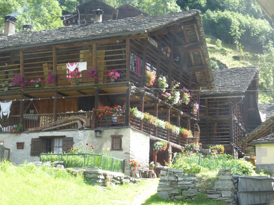
Continue along the small road out of Sant'Antonio. After a while, read the valley road, and turn left to Alagna; this road is a bit busier, but still pleasant. Alagna is nice town to stock up on supplies or maps and/or have a break for coffee. From Alagna, follow the smaller road to Pedemonte with nice Walser houses.
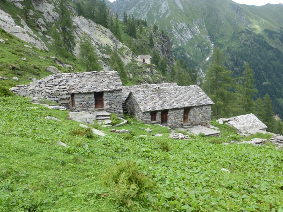
In/after Pedemonte, take the path into the forest, towards Rifugio Ferioli and Colle del Mud. At first the path is pleasantly in the shade, but continues to climb quite steeply also after leaving the shade and passing a few farms. The views get gradually better and you can see Rifugio Ferioli with it nice viewdeck. The guides recommend the rifugio for lunch, but we opted not to pass by the Rifugio and go directly to Colle del Mud (2324m). From the pass, the path goes down in pleasant switchbacks, basically directly to Rima where there are several options to stay, including Albergo Tagliaferro, which also manages the Posto Tappa. We stayed slightly out of town in Rifugio Brusa, a small rifugio basically in a private house (bed&breakfast style, but half board is available).
- Above Alagna

- Rifugio Ferioli
- Summer farms above Rima
